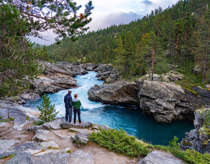
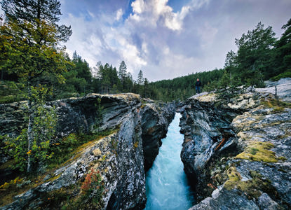
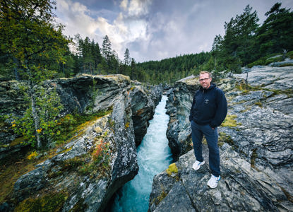
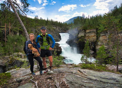
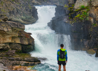
Love is what gave Ridderspranget, meaning the knight’s leap, its name and place in Norwegian literature. It was somewhere in the 14th century that a girl so beautiful lighted up the dark ages. Her beauty won the heart of the knight of Valdres named Sigvat på Kvie. But while the girl’s heart also loved Sigvat, she was destined to marry Iva Gjæsling, knight of Sandbu in Vågå.
One day the lovestruck Sigvat rode all the way from Valdres to Sanbu, robbed the girl, Skårvangs-sole, from Iva’s house, set it on fire and disappeared like a thief in the night. Being pursued by his rival, Sigvat and his love drove on and on till they reached the Sjoa river, flowing through a gorge they could not cross. With Iva’s hate on their heels, it was love that made Sigvat and Skårvangs-sole take the knight’s leap over a gorge we now know as Ridderspranget...
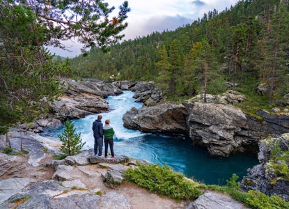
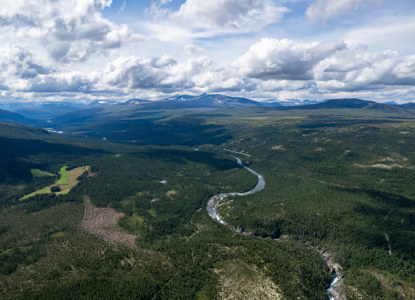
You get to Ridderspranget by following the signs on Rv51. There is a parking lot with information, picknick table and rest-rooms close to the gorge. From here it is a short walk up to the gorge. Ridderspranget is a beautiful but also hazardous place. Please be careful at all times and do not jump off the cliff as this is extremely dangerous. Ridderspranget is a current in the river Sjoa formed when the river has gnawed deep into bedrock.
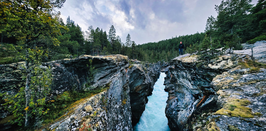
Bukkelægret has a steady steep climb/descent on both sides of the route, with a longer flat plateau in the middle. The hike will take you through a variety of beautiful trout-filled lakes – a great place to catch your lunch. The high mountain offer great views of Gjende. In the steepest a Read more
This is a longer, but much more exciting route to the summit of Galdhøpiggen, 2469 meters above sea level. The route includes a spectacular glacier crossing and steep, but easy scrambling up the south face of Galdhøpiggen. We follow the normal route down to Spiterstulen. It is a demanding trip Read more
Gjendetunga is the perfect hike for those who want to indulge in a nice, relaxing and shorter trek, but who doesn’t want to go without a panoramic view experience. Towering over Gjendebu, Gjendetunga lies at 1516 MASL (4973, 7 feet) and is “a not to miss” hike if you’re in this area. On c Read more
A glacier tour to Svellnosbreen is a spectacular experience with large crevasses and blue ice towers. This is a day trip starting from Spiterstulen at 10:00 and we arrive at the edge of the glacier around 12:30 where we put on the gear needed for glacier travel: rope, harness and crampons. We exp Read more
– At 2,457 m above sea level, Glittertind is the second highest mountain in Norway, located within the municipality of Lom. It’s easy to grasp why the hike to Glittertind is so popular; not only is it an exciting hike that takes you over a glacier, which in itself is reason enough to go, b Read more
Vetti can be reached by foot or by horse-carriage from the nearby Hjelle farm to the south. The scenic route between Hjelle to Vetti Gård is well marked and is more like a well groomed road than the normal trails we are used to in Jotunheimen. Vetti is no longer regularly inhabited, but it is no Read more
North (Nørdre in Norwegian) Kalvehølotinden, with its 2019 meters above sea level, is the southernmost of Norway’s 2000-meter peaks. The mountain is part of a ten-kilometer-long mountain massif called Kalvehøgde, which consists of ten peaks over 2000 meters, including Vang and Valdres’ hig Read more
The popular hiking route from Torfinnsbu to Gjendebu takes you through Svartdalen, meaning “The Black Valley”, which is often referred to as the most beautiful valley in Jotunheimen. As you wander through this lush valley, you'll be surrounded by majestic towering peaks, several of which Read more
Start your hike at Kvamskleive and continue like the locals with public transportation from the end of Kvamskleive to Øye. Or skip the first part to start directly at Øye to avoid any extra transportation. Kvamskleive was in use from 1808 and replaced an older road on the other side Read more
The stretch between Maristova and Borlaug is 7 km long, and has an elevation of 300 metres. Most is on grassy track and is the original Kongevegen. If you start at Maristova and head west, you will immediately encounter the spectacular wooden bridges – all built according to instructio Read more
The Torfinnsbu to Eidsbugarden route is also the last stage of the Historical Hiking Route in Jotunheimen. The route takes you west from Torfinnsbu to Eidsbugarden. The trail goes along Bygdin lake, climbing to as high as 1600 meters above sea level, and back down to the final destination at Eids Read more
The tour to Torshammaren will provide a feeling of being surrounded by Jotunheimen's mountain peaks. At the peak you will find yourself at the gates of Jotunheimen's wilderness. The tour is easy, and a great tour for beginners. There are only 370 height meters from start to the peak, with a fairl Read more
Large parts of the route follow the beautiful lake Otrøvann. The lake is also known as Støgovatnet, and is located 971 m a.s.l. Between Kyrkjestølen and Maristova, you will cross the actual Filefjell and reach Kongevegen’s highest point. The stretch across Murkløpphøgda is Read more
The hiking route between the Gjendebu and Eidsbugard takes you from Lake Gjende to Lake Bygdin through Jotunheimen National Park. Starting off from the birch forest by Gjendebu you follow the Veslådalen valley before heading down to Lake Bygdin and Eidsbugard. The hike is long but moderate wi Read more
Vettisfossen is one of Norway's tallest waterfalls, and the 284th tallest in the world. Most people hike to the base of the waterfall for a view of Vettisfossen. It's also possible to hike to the top. The route and climb is longer than to the base. But while you are at Vetti Gård this is a great Read more
Continue from Vetti Gård up into the beautiful Utladalen. The green wild nature and the river along the hike creates a superb scenery all the way on to Vettisfossen. With a free fall of 275 metres, Vettisfoss is the highest waterfall in Norway which has not been regulated. The short hike has som Read more