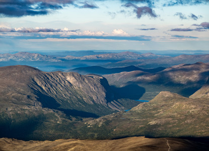
Besshøe
Besshø - a majestic peak in Jotunheimen
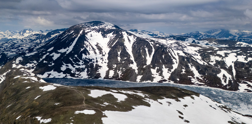
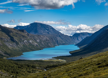
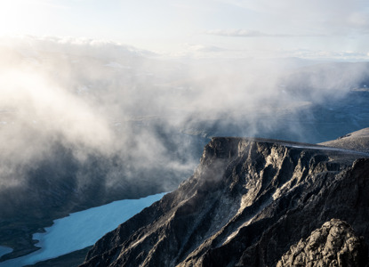
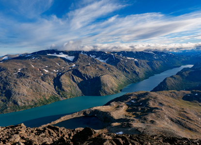
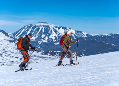
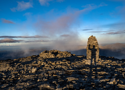
Besshø, often spelled Besshøe, is a majestic peak in the Jotunheimen mountain range of Norway. Towering around 2,258 meters above sea level, it stands prominently alongside the famous Besseggen ridge and the crystal-clear lakes of Gjende and Bessvatnet. Thanks to its iconic location and dramatic scenery, Besshø is a must-visit for hiking enthusiasts eager to experience one of Norway’s most spectacular alpine landscapes.
Key Features
-
Impressive Height
At approximately 2,258 meters, Besshø is among the higher summits in Jotunheimen, offering far-reaching views of many of the region’s most recognizable peaks. -
Location
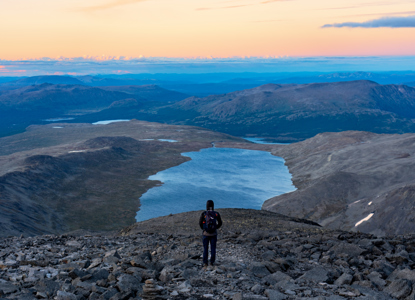
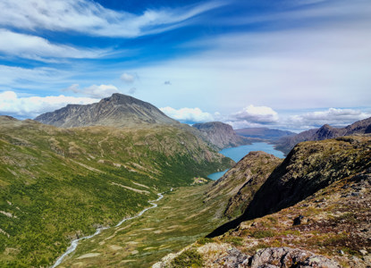
Nestled between the lakes Gjende and Bessvatnet, the mountain provides breathtaking panoramic vistas of turquoise waters, rugged ridges, and sprawling valleys. -
Difficulty & Accessibility
The summit can be approached from various routes, often using the same trailheads that serve Besseggen. Expect some steep, rocky sections that require good footwear and a moderate level of fitness. Weather in the high mountains can change rapidly, so proper preparation is essential. -
Hiking Season
The typical hiking season runs from mid-June to late September, when snow is largely melted off the trails. During this period, conditions are generally more predictable, making for a safer and more enjoyable climb. -
Trail Duration
Depending on the route and personal pace, the ascent and descent usually take around 6–8 hours. Always allow extra time for breaks, photos, and variable weather conditions. -
Scenery
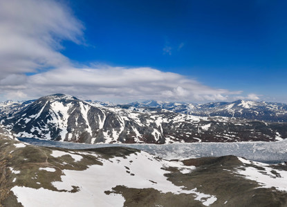
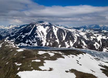
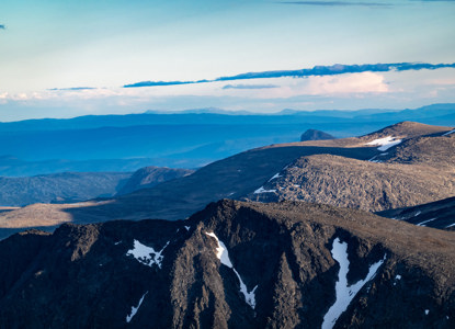
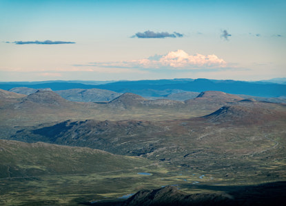
From the summit, hikers are rewarded with sweeping views that encompass nearby glaciers, dramatic valleys, and the iconic peaks of Jotunheimen. This striking panorama makes Besshø well worth the effort, promising an unforgettable day in the Norwegian high country.
How to get here
Trip from Bessheim to Besshø
The route from Bessheim to Besshø (2,258 m) is a challenging day hike, typically taking 7–9 hours round trip. Hikers ascend over 1,000 meters of elevation, following rocky trails and passing near Lake Bessvatnet. Sturdy footwear, weather-appropriate clothing, and good fitness are recommended, as conditions can change rapidly in the high mountains.
