Bessvatnet
Lakes
Altitude
1373 masl
Closest parking
Bessheim 3,5 km / 1:30 h
Coordinates
61.5250394N, 8.7857500E
/ Show on map
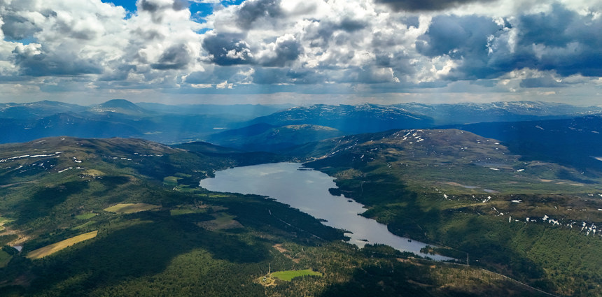
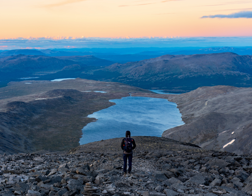
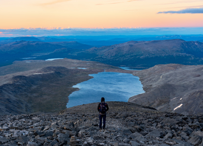
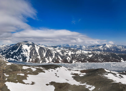
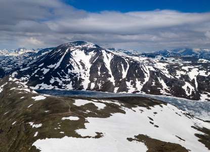
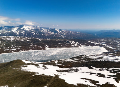
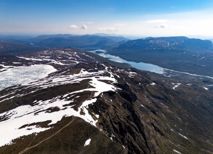
Bessvatnet is a glacial lake in Vågå Municipality in Innlandet county, Norway. The 4.7 km2 lake is located in the Jotunheimen mountain range and also inside the Jotunheimen National Park. The lake lies just east of the mountain Besshø.
Renowned for its stunning turquoise-blue waters and its dramatic setting among steep mountain peaks, the lake lies at an elevation of approximately 1,373 meters (4,505 feet) above sea level.
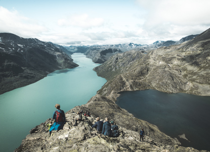
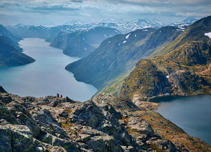
Bessvatnet is famously part of the popular Besseggen Ridge hike, one of Norway's most iconic trekking routes. The ridge dramatically separates Bessvatnet from Lake Gjende, which is notably lower in elevation and has a vivid green hue, creating a striking contrast when viewed from above.
- Length: Around 4 km (2.5 miles)
- Width: Up to 1 km (0.6 miles) at its widest
- Depth: Bessvatnet is one of Norway’s clearest and deepest lakes, with crystal-clear visibility.
- Features: Surrounded by rugged peaks and accessible from various hiking routes, Bessvatnet is a serene and pristine body of water, often admired for its reflections of the surrounding landscape.
How to get here
-
-
-
From Gjendesheim
- Start Point: Gjendesheim Tourist Lodge
- Distance: Approximately 3-4 km to the lake’s western edge.
- Route: This is the start of the Besseggen hike, ascending from Gjendesheim. Hikers can enjoy stunning views of Bessvatnet and Lake Gjende early in the trek.
From Memurubu
- Start Point: Memurubu Lodge, accessible by boat from Gjendesheim.
- Distance: Approximately 6 km (via Besseggen) or 1-2 km when descending from the Besseggen Ridge.
- Route: Memurubu serves as an alternative access point for those completing the Besseggen Ridge from the opposite direction.
From Glitterheim
- Start Point: Glitterheim Tourist Lodge
- Distance: About 12-14 km.
- Route: A longer approach that takes you through remote areas of Jotunheimen. This route offers solitude and incredible views but requires planning for a longer hike.
-
-
