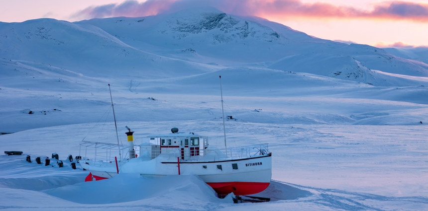
On the nearby Bygdin,there you can find a special boat with the same name. The M/B Bitihorn is a historic passenger boat operating on Lake Bygdin in Jotunheimen National Park, Norway. Built in 1912, it has been in regular service since then. The boat operates daily during the summer season, from the end of June to mid-September, with two departures daily between Eidsbugarden and Bygdin, including a stop at Torfinnsbu.
Bitihorn
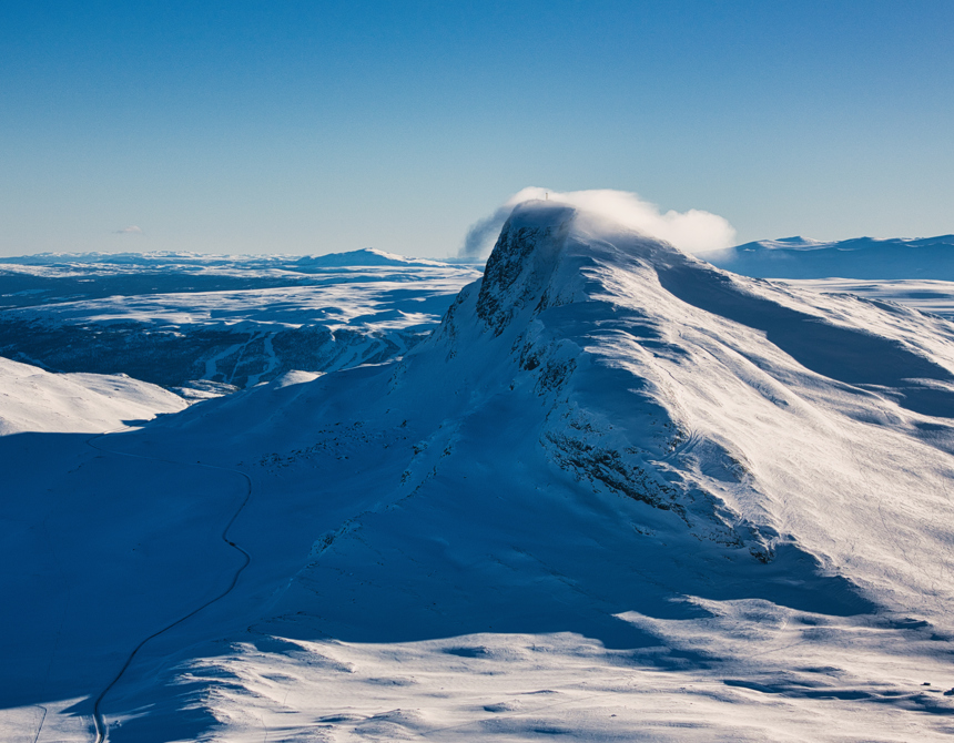
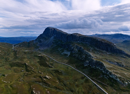
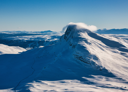
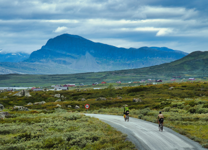
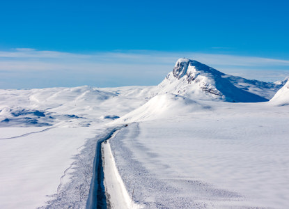
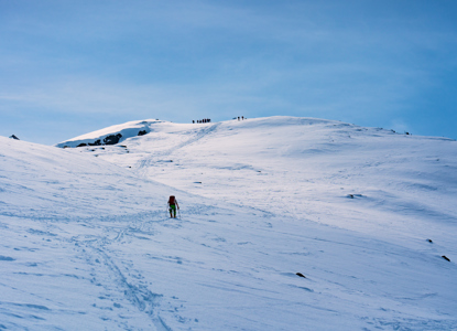
Bitihorn is a prominent iconic 1,607-meter mountain in the south of Jotunheimen National Park, located in southern Norway. It is famous for its dramatic contrast of steep cliffs and accessible slopes. From the east and south, the mountain presents sheer, rocky walls. On the western side, however, a gentler route allows hikers and skiers to reach the summit without technical climbing.
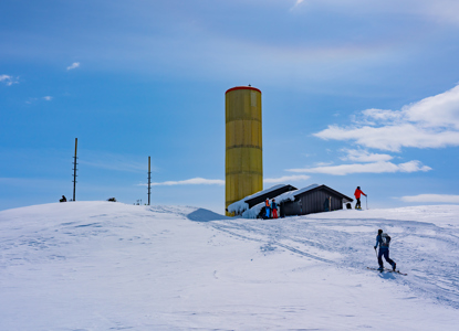
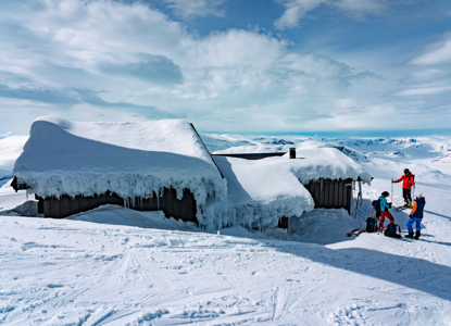
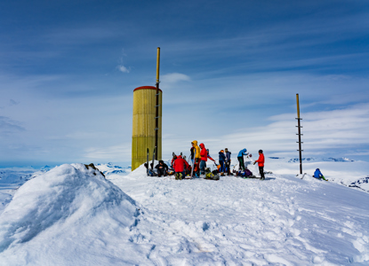
The building atop Bitihorn is a communications station with a small cabin. It's closed to the public and not accessible as a shelter.
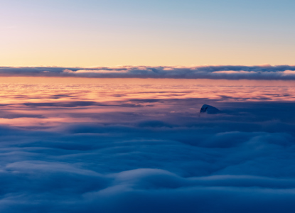
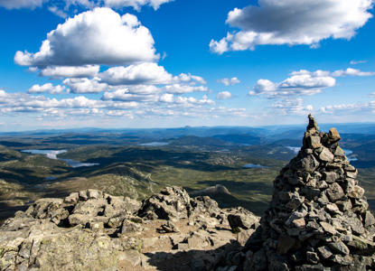
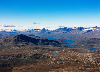
The reward at the top is a breathtaking 360-degree view over Jotunheimen’s jagged peaks and the serene Valdres region. This unique position makes Bitihorn a prime viewpoint, standing alone with unobstructed vistas in every direction.
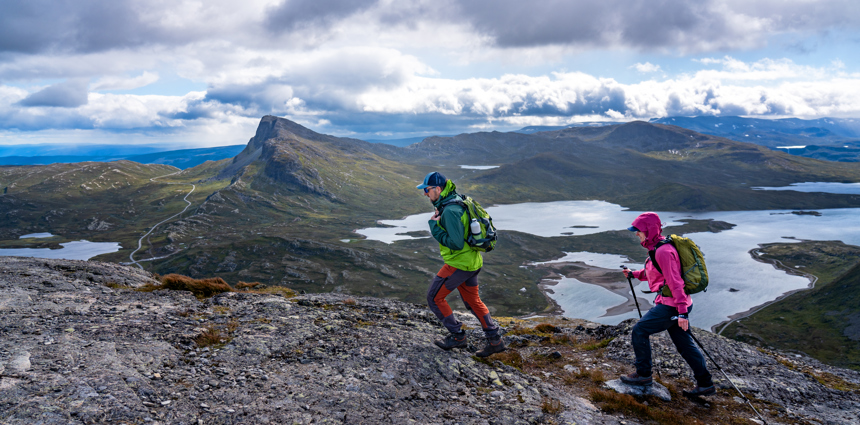
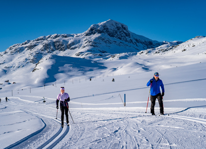
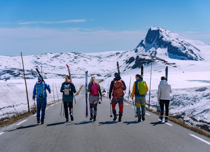
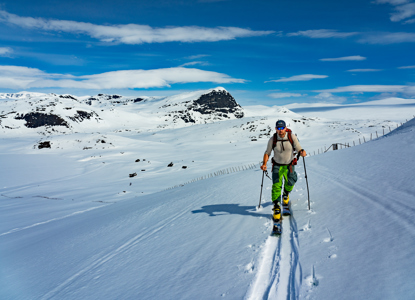
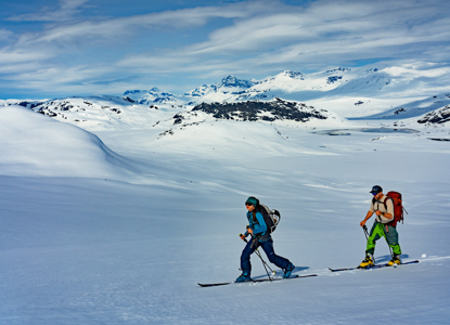
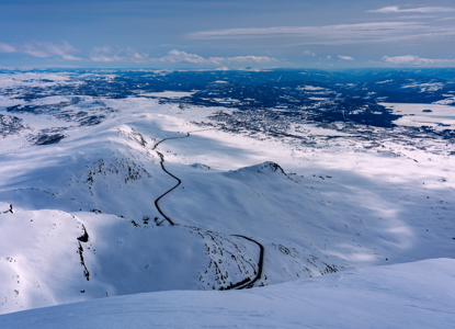
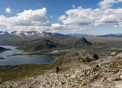
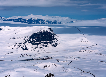
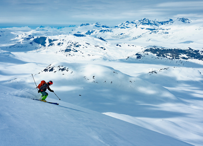
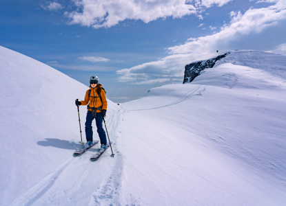
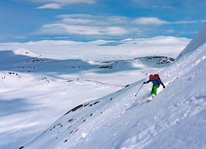
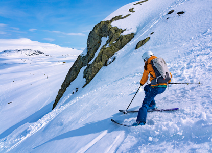
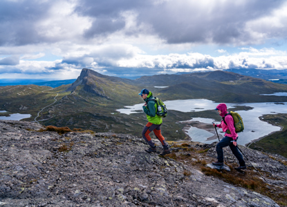
In the warmer months, the hike is well-marked and typically takes a few hours, making it a great half-day adventure. Come winter, the trail transforms into a ski tour, attracting backcountry enthusiasts. Bitihorn offers not very long, but very nice skiing terrains for all kinds of skiers.
On the nearby lake Bygdin,in
How to get here
Route Description
- Starting Point: Many people begin their hike at the parking lot near Stavtjednet, about 1,100 meters above sea level. From there, you follow a well-marked trail.
- Ascent: The trail becomes steeper as you approach the summit, but it remains easy to follow.
- Views from the Summit: At the top, you’ll be rewarded with panoramic views of Valdres, Lake Bygdin, and the Jotunheimen mountains.
TIP: during the months without the snow coverage you can also ascend Bitihorn from a mountain saddle named Båtskardet. This is much shorter but also much steeper. see the map HERE
