Glittertind was first ascended in 1841 by surveyor Harald Nicolay Storm Wergeland and farmer Hans Sletten. They reached the summit to measure its height, as it was once believed to be higher than Galdhøpiggen. However, later measurements confirmed Galdhøpiggen's greater elevation. Interestingly, Glittertind's glacier was about 65 feet thick in the early 20th century, but it has since receded significantly.
Glittertind
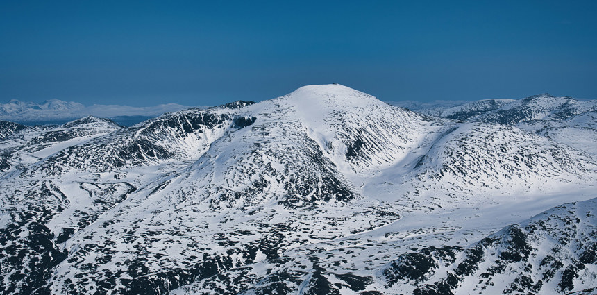
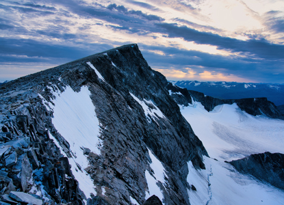
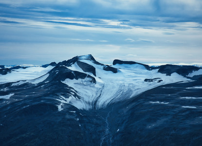
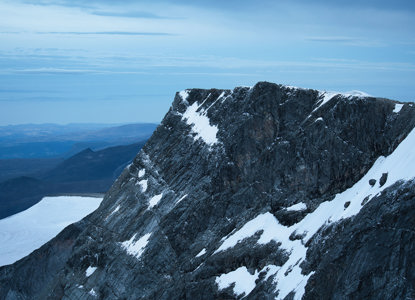
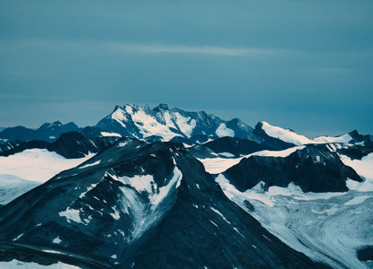
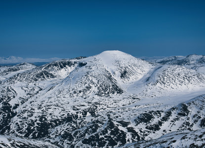
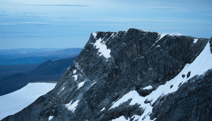
Glittertind, at 2,452 meters, is Norway's second-highest mountain, located in Jotunheimen National Park. Its gentle east and west ridges are popular hiking routes, while the steep north face rises from the Grjotbreen glacier. Only slightly shorter than Galdhøpiggen, Norway's highest peak, Glittertind has a fascinating history tied to mountaineering, geology, and Norwegian national identity.
Glittertind's height fluctuated slightly over the years due to a glacier cap covering its summit, which once made it taller than Galdhøpiggen under specific measurements. However, as the glacier has receded, Galdhøpiggen reclaimed the title. Still, Glittertind’s prominence and striking silhouette make it an essential destination for hikers and nature enthusiasts.
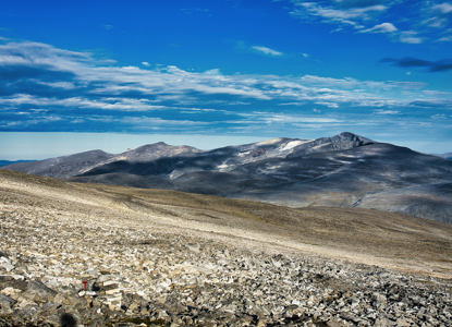
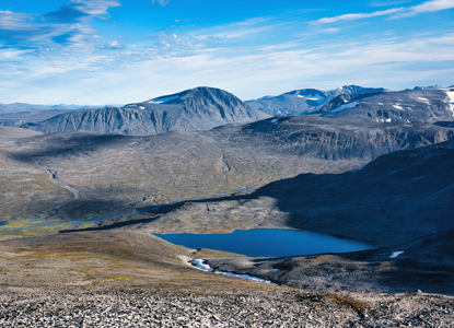
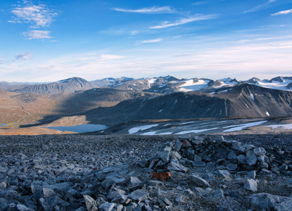
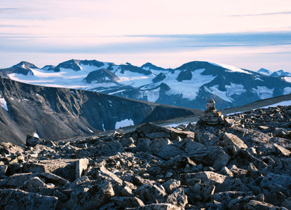
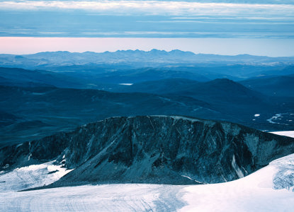
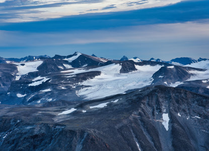
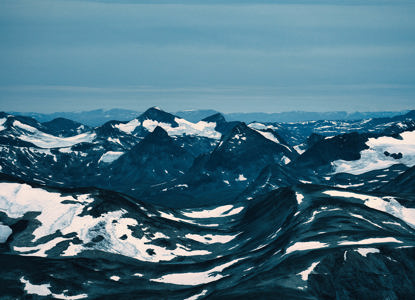
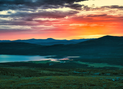
Situated within the Jotunheimen National Park, Glittertind offers absolutely incredible views of Norway’s dramatic, glacier-carved landscapes and valleys.
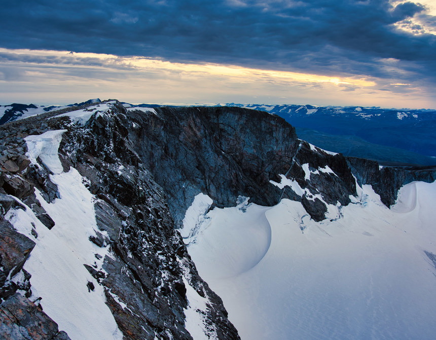
The ascent is relatively accessible for experienced hikers, particularly in the summer, though snow conditions and the glacier cap demand careful preparation and, in some sections, crampons.
Aside from its hiking appeal, Glittertind embodies Norway’s rugged natural beauty and has become a symbol of the wild, untamed landscapes that characterize this region. Its iconic presence alongside other Jotunheimen peaks continues to draw mountaineers, making it one of Scandinavia's most treasured highlands.
How to get here
The hike from Glitterheim mountain cabin to the summit of Glittertind takes about 4 to 5 hours one way, depending on your pace, and is considered challenging due to the elevation gain and the steeper sections closer to the top.
Here’s a breakdown of the terrain and sections:
-
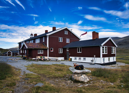
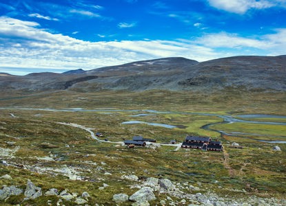
Starting from Glitterheim: The trail begins from the Glitterheim cabin, which is at an elevation of around 1,385 meters. From here, the path gradually ascends, offering views of the surrounding valleys and glaciers. The first section is relatively moderate but still uphill.
-
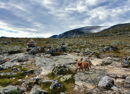
Approaching the Glacier: As you progress, the terrain becomes rockier and steeper. You'll pass through alpine meadows and areas with loose stones, especially as you near the glacier's edge.
-
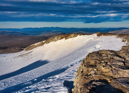
The Steep Ascent: The final stretch to the summit is the most challenging. The incline here becomes steeper, and much of the path is rocky, requiring careful footing. VEry often this part is completely covered by snow until mid-summer. This section may feel strenuous, especially as you approach the summit ridge. The terrain can be a bit technical, with some scrambling in places.
-
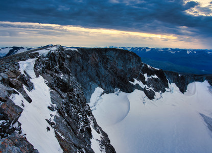
Summit and Views: At the summit of Glittertind, at 2,452 meters, you’re rewarded with panoramic views of the surrounding Jotunheimen mountain range, glaciers, and valleys. On a clear day, the visibility can be incredible. Be very carefull in winter or in spring, there are usually giant cornices, hanging above 200-300 m high almost vertical wall. do not step on these cornices, they might be up to 10 meters long.
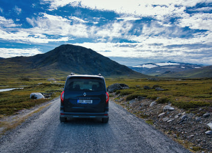
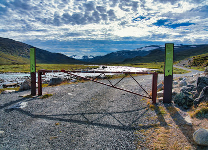
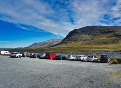
Closest Parking - Parking lot on a paid toll road in Veodalen, where you can rent a bike for your travel to Glitterheim mountain hut and back to the car - MAP HERE
