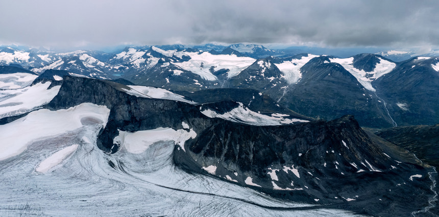
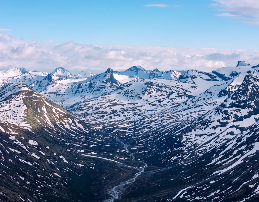
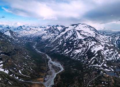
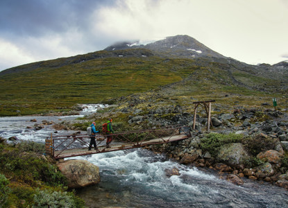
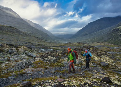
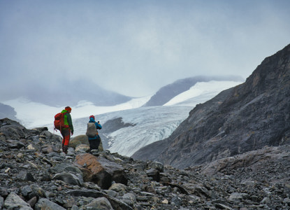
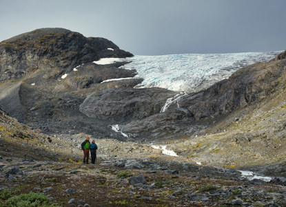
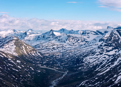
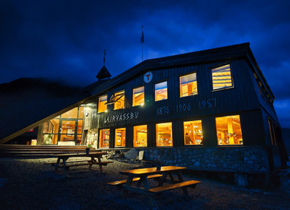
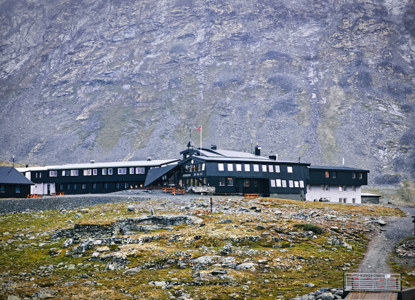
Leirdalen is a scenic valley in Jotunheimen National Park, Norway, known for its dramatic mountain landscapes and as a gateway to popular hiking and skiing areas. The valley stretches approximately 15 kilometers in length, connecting Sognefjell Road (Route 55) near the highest point of the road to Leirvassbu Mountain Lodge, which sits at 1,400 meters above sea level.
Access and Travel
- By Car: A gravel road runs through the valley, offering a scenic drive deep into the heart of Jotunheimen.
- By Bus: During the summer season, some buses to Leirvassbu operate via Route 55, with a connection to the valley.
How to get here
Start and End Points
-
Starting Point:
- The entrance to Leirdalen begins at a turnoff from Route 55, near the Sognefjellet plateau.
- The gravel road leading into the valley is signposted and maintained during the summer months.
-
Ending Point:
- The valley culminates at Leirvassbu, a key base for hiking, ski touring, and exploring peaks like Kyrkja, Stetinden, and areas like Storbrean Glacier.
