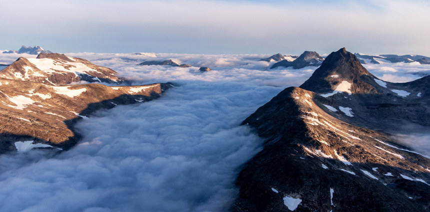
Mjølkedalen
Mjølkedalen is a striking U-shaped glacial valley located in the central part of the Jotunheimen National Park, offering dramatic views of the rugged Norwegian landscape, including snow-capped summits and deep-cut terrain shaped by ancient glaciers.
Length: Approximately 10–12 km, from its mouth near Bygdin lake to its upper reaches in Øvre Mjølkedalen.
The most important lake is called Mjølkedalsvatnet: A prominent glacial lake situated in Uranostind massif the middle of the valley, fed by meltwater from nearby glaciers and mountain streams. Its icy blue waters are a defining feature.
The valley floor features lush alpine meadows in the lower parts, higher then rocky outcrops, and braided rivers, transitioning to steeper slopes with scree and cliffs.
The upper section of the valley, Øvre Mjølkedalen, is higher in elevation and surrounded by impressive peaks, including Storegut (1968 m) and beautiful Mjølkedalstind (2138 m).
This section often serves as a base for mountain expeditions and backcountry skiing routes. Winter transforms the valley into a skiing haven, especially for those exploring Øvre Mjølkedalen.
How to get here
Accessibility
- Mjølkedalen is accessed via mountain road from Tyin to Eidsbugarden. You can explore this stunning valley on your hike between 2 DNT cabins, Fondsbu and Skogadalsbøen.


