Snøholsvatnet
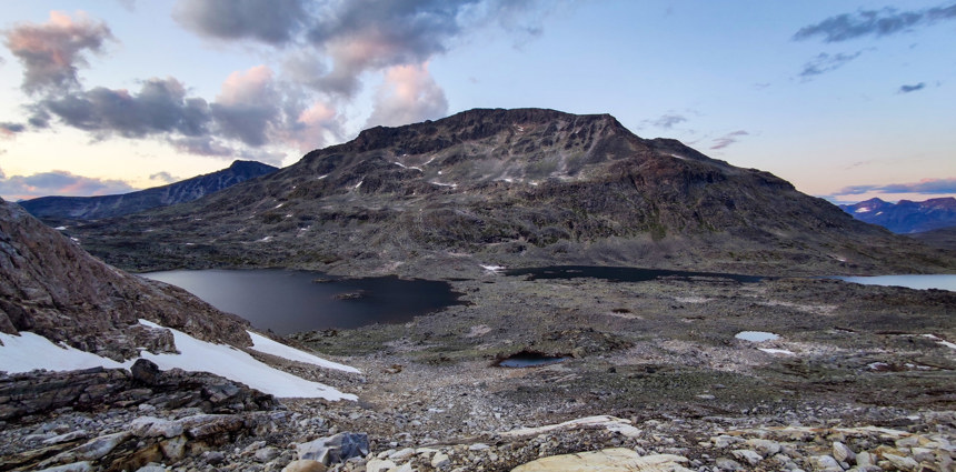
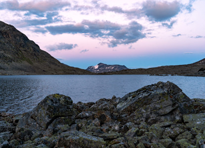
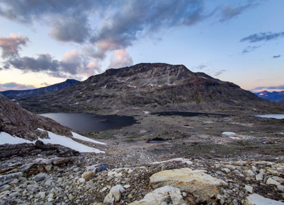
Snøholsvatnet is a lake located in the Jotunheimen region of Norway, situated near the base of Snøholstinden, a prominent mountain in the area with an elevation of 2,142 meters.
Accessing Snøholsvatnet requires traversing mountainous terrain, and there are no direct roads leading to the lake.Hikers often start from nearby huts such as Fondsbu, Olavsbu or Gjendebu, following marked trails that pass through the scenic landscapes of Jotunheimen.The approach involves significant elevation changes and can be challenging, so proper preparation and awareness of current weather conditions are essential.
The lake is situated at a high altitude, contributing to its alpine climate and surroundings.
How to get here
Shortes way to reach Snøholsvatnet is starting from Eidsbugarden. You'll need to follow marked hiking trails through the region's rugged and scenic landscape.
Starting Point: Eidsbugarden
Eidsbugarden is accessible by car or boat on Lake Bygdin and serves as a popular starting point for treks in Jotunheimen.
Trail to Olavsbu: From Eidsbugarden, follow the marked trail towards Olavsbu, a well-known DNT (Norwegian Trekking Association) cabin. After about 8,7 km on the crossroad of trails turn right to the lake.
Difficulty: Moderate to challenging, with some elevation gain.
Time: 3–5 hours depending on pace and weather.
Trail Markers: The trails in Jotunheimen are marked with red "T" symbols. Look for these to stay on the right path. Season: Ideal months are late June to early September when snow has melted and trails are accessible.


