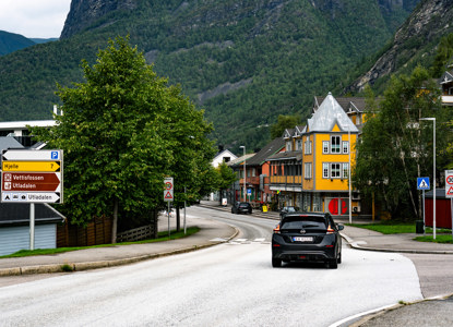
Tindevegen
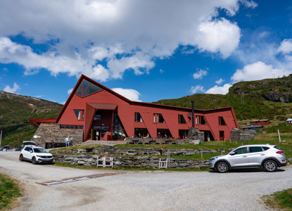
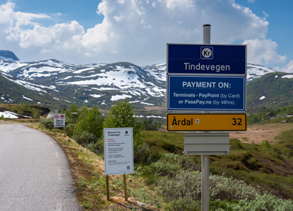
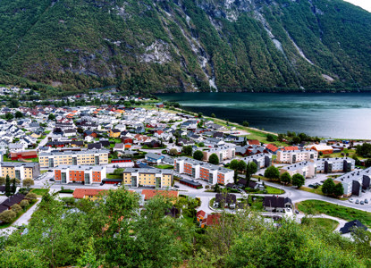
Tindevegen is the mountain road between Årdal and Turtagrø (32 km) that takes you from the Sognefjord to Jotunheimen. The road is usually open from May to November and is known as the "shortcut through Jotunheimen," offering the shortest ferry-free route from Bergen to Trondheim.
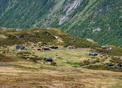
This tourist road connects Årdal with Luster and the Sognefjellet National Tourist Route. The mountain road passes through majestic nature among beautiful peaks in Jotunheimen, with many excellent viewpoints. A short walk from the route reveals a fantastic panorama featuring Hurrungane and Store Skagastølstind to the east, and the Sognefjord and Skjolden to the west.
Tindevegen is a toll road accessible to motorcycles, cars, cars with trailers, and motorhomes (recommended maximum length: 10 meters).
How to get here
-
Tindevegen Overview
- Length: Approximately 32 kilometers (20 miles).
- Start: The road begins in Øvre Årdal, in the municipality of Årdal.
- End: It connects to Turtagrø, near Sognefjellet in Luster Municipality, on the way to Jotunheimen National Park.
- Elevation: Reaches an altitude of about 1,320 meters at its highest point.


