Uranostind
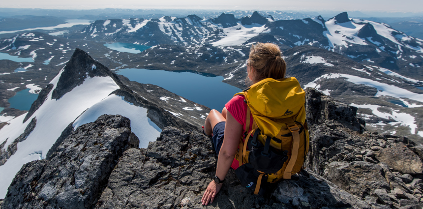
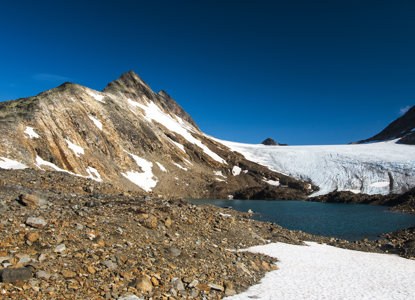
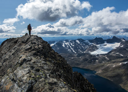
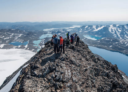
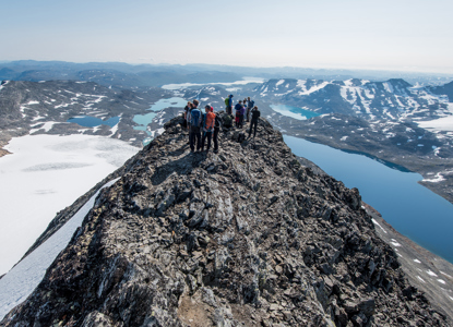
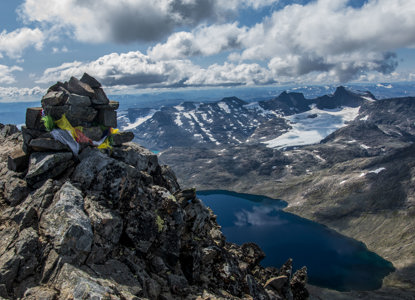
Uranostind rises majestically in the southern part of Jotunheimen, and it is the highest summit on a several kilometre-long and sharp mountain ridge. It's recognisable for its sharp peak, that during winter is covered with beautiful white snow. The views from such an isolated and dominating summit are spectacular and unique; the hike offers views over the entire Jotunheimen, including Hurungane in the West, Uradalen in the North. To access the peak the route takes you over the glacier Uranosbreen, located East of the Mountain ridge.
Its name is connected to "Uranos," traditionally from Greek mythology, though in a Norwegian context it can be seen as referring to its lofty position among the sky and clouds.
Mountain and Glacier
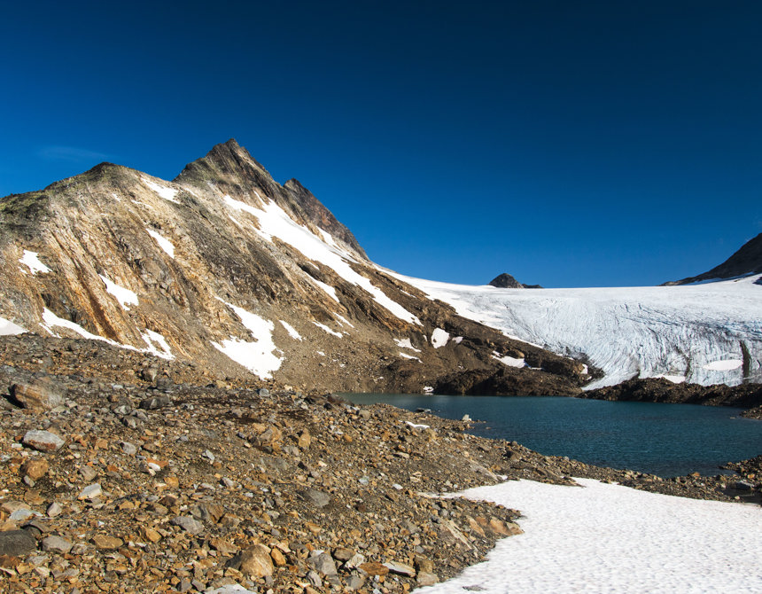
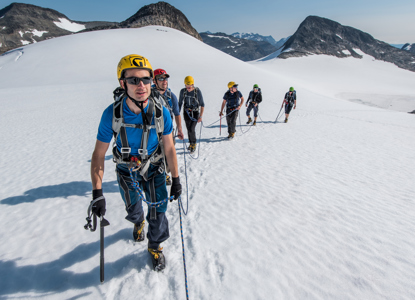
Uranostind is surrounded by snowy ridges and steep rock faces, often remaining covered in snow or ice for much of the year. Many climbers choose the route that goes over the Uranosbreen glacier, which requires basic glacier-travel skills and the right safety equipment. From the glacier, you follow a relatively well-defined ridge to the summit. The reward is an astonishing view: on clear days, you can see large parts of the Jotunheimen massif, including well-known peaks such as Falketind, Hjelledalstind, and other 2,000-meter summits.
How to get here
Hike Description
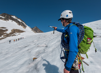
The most popular version of this hike is to follow the route that crosses the Uranosbreen glacier. Starting from Koldedalen, you'll walk 3.5 km heading north towards the glacier. Once you reach the Glacier there will be a short change of equipment before the hike continues to Uraknatten and the climb to Uranostind. The trek takes you over crevasses, and you will do some easy climbing and then crawl out on the top ridge and admire the spectacular view from the summit.
This hike should not be attempted without the support from a certified guide!
(This map shows only approximate direction from the Koldedalen road)
