
Valdresflye
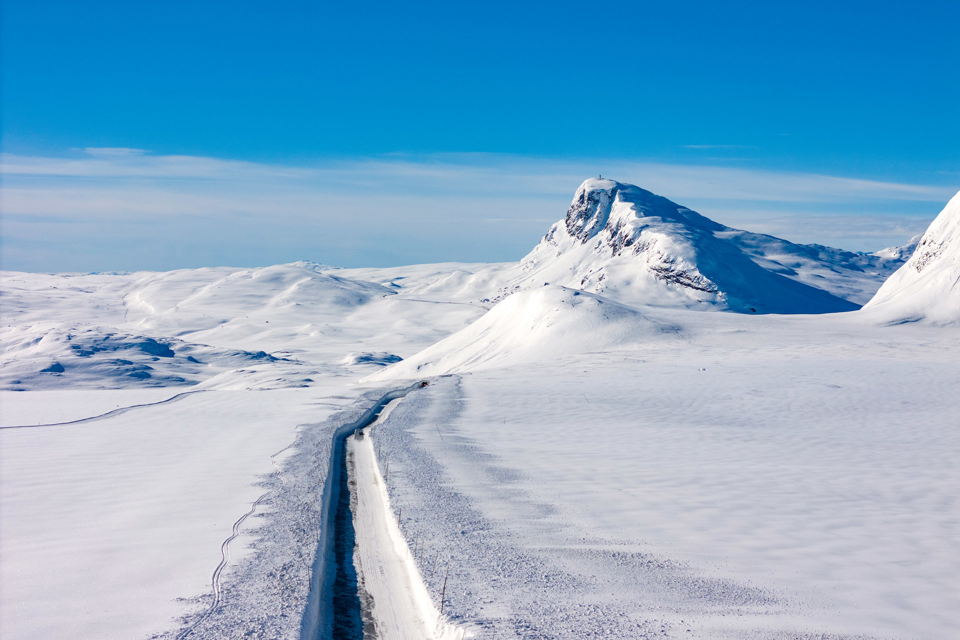
Valdresflye is a high-altitude mountain plateau in Innlandet County, Norway, traversed by the scenic Fv51 road (49 km long). It peaks at 1,389 meters (4,557 ft) above sea level and is part of the National Tourist Routes, offering panoramic views of Jotunheimen National Park.
Highlights:
- Access to iconic hikes like Besseggen Ridge and Gjende and Bygdin Lakes.
- Breathtaking open landscapes with Norway’s highest peaks in view.
- Activities: Hiking, cycling, spring skiing, and photography.
- Seasonal: Road is open from May to November (closed in winter).
Valdresflye is ideal for experiencing Norway’s raw mountain beauty, with stops for scenic views, trails, and traditional mountain lodges.
Gallery


How to get here
-
Start and End Points:
-
South End:
The route begins in Garli, near Beitostølen in the municipality of Øystre Slidre, Innlandet County. -
North End:
It ends at Hindsæter or the area near Randsverk, in the municipality of Vågå, Innlandet County.
The highest point of the road is 1,389 meters (4,557 feet) above sea level, making it one of Norway's highest mountain roads. It is usually open from late May to early November, as it closes during winter due to heavy snow.
-
